

0
0
Tu carrito
Tu carrito está vacíoVolver a la página de inicio

Productos

High Precision & Faster Work

Receptor GNSS

Centimeter Accuracy
Full Constellation Support
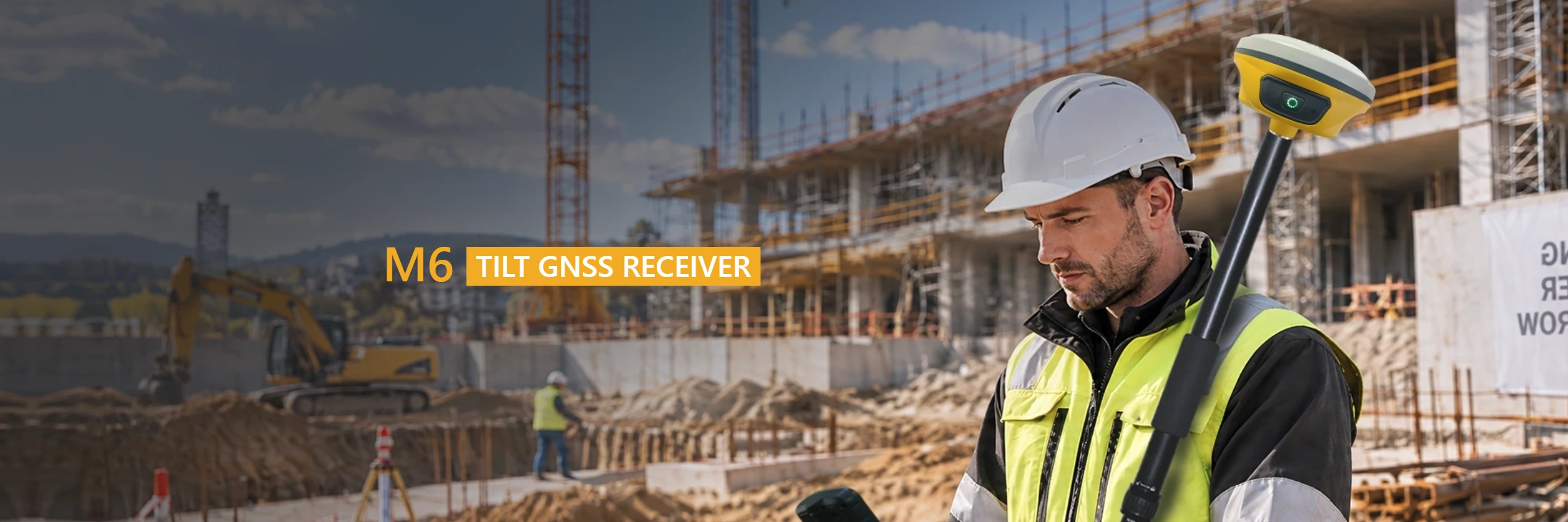
±60°Tilt Surveying
40% Faster Work

Data Controller

Android 12 System
5.5 Inch Screen
7000mAh Battery
4+64GB Memory

Auto Steering System

Auto Steering System
Leveling System
Base Station
Cloud Platform

Software Solution

Easy to Use
Multiple Work Modes
Common Im/Export Formats
Abundant Survey Methods

Industrias

Professional Solutions & Multiple Applications

Topographic Surveying

Allowing surveyors to efficiently collect information about ground elevations, contours, slopes, and natural or man-made features.
Más información

Engineering and Infrastructure

Precision positioning for faster surveying, accurate construction, and more efficient infrastructure development.
Más información

GIS Data Collection

Efficient capture of accurate spatial and attribute data for mapping, asset management, and field analysis.
Más información

Agricultura de precisión

Delivering accurate positioning for smarter farming, greater efficiency, and higher productivity.
Más información

¿POR QUÉ ELEGIRNOS?

Su socio de confianza

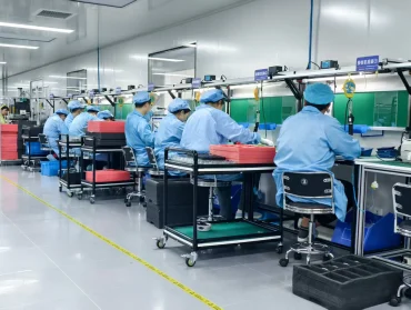
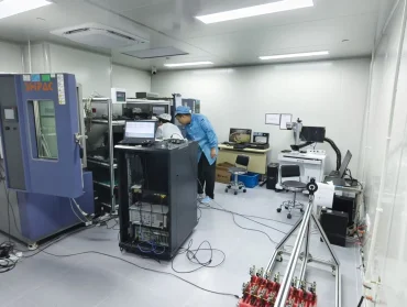
Professional R&D
Innovation

Backed by a professional and experienced R&D team, MaxNav is committed to continuous innovation in GNSS technology, auto-steering systems, and intelligent software solutions.

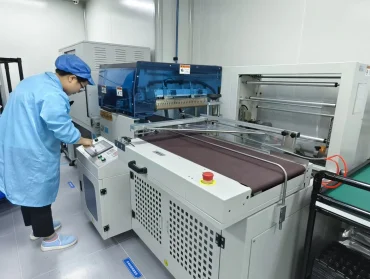
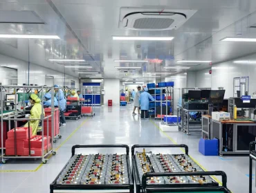
High Quality Products

Through ongoing technological development and product optimization, MaxNav delivers reliable, high-precision products that meet the evolving needs of users across a wide range of industries.

7/24 Technical Support

Get reliable technical assistance whenever you need it. Our dedicated support team is ready 24/7 to help you solve problems quickly and keep your work moving forward.
ACERCA DE NOSOTROS

PRECISION TO THE MAX

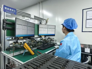
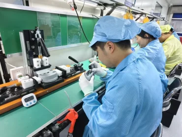
Accuracy is no longer a luxury — it’s the new standard. That’s the era we’re in, and that’s where MaxNav leads. Specializing in GNSS, auto steering and software solutions, MaxNav provides accessible, high-precision technologies that power surveying, mapping, precision agriculture, and high-precision positioning services for worldwide users.

Contáctenos

Get in Touch with Us

Dime qué necesitas.