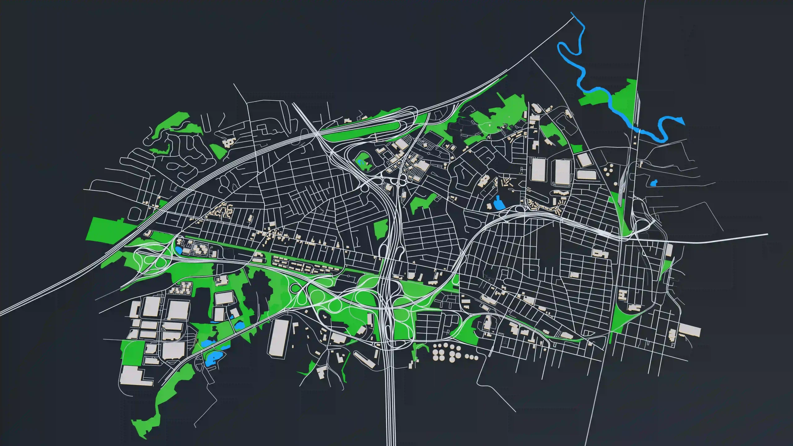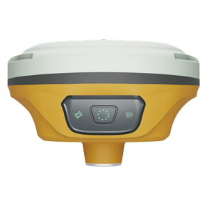
In GIS, accurate geospatial data is crucial for a variety of applications, from urban planning to environmental monitoring. MaxNav’s GNSS solutions, including the C50 Data Collector and handheld devices, provide high-precision positioning for field data collection, enabling professionals to perform mapping tasks efficiently and accurately. With integrated IMU technology and seamless workflows, MaxNav ensures reliable data capture in both open and challenging environments, improving the efficiency and accuracy of mapping projects.