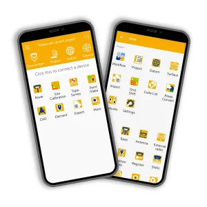
MaxNav’s software solutions are designed to integrate seamlessly with GNSS and Auto Steering systems, providing advanced data processing and analysis. Tailored for industries like surveying, agriculture, and construction, our software improves workflow efficiency and accuracy with features like stakeout, terrain mapping, and machine control interfaces.