
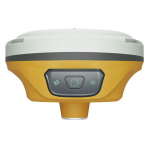
In land surveying, precise geospatial data forms the foundation of land development and infrastructure projects. MaxNav’s GNSS solutions, including receivers and handheld devices, provide the reliability and accuracy required for a wide range of survey applications. With IMU tilt compensation and seamless data workflows via the C50 Data Collector, professionals can capture and process field data efficiently—even in challenging environments—reducing time spent on-site while ensuring deliverables meet the highest standards.